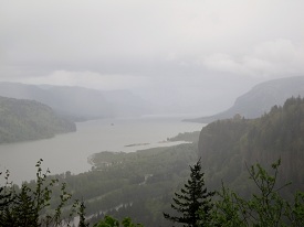
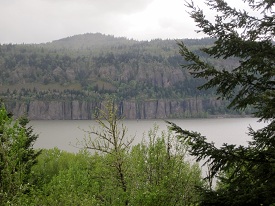
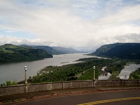
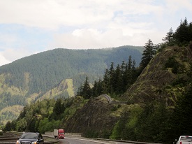
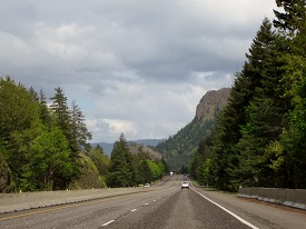
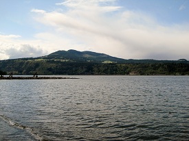
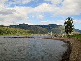
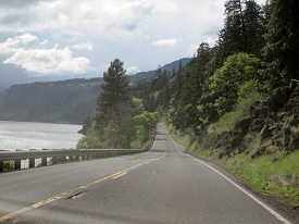
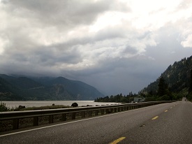
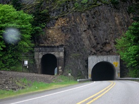
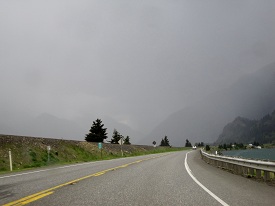
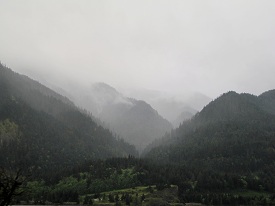
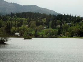
“…the river widens to near a mile, and the bottoms are more extensive and thickly timbered, as also the high mountains on each side.” – William Clark
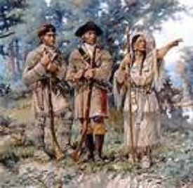
No, Guys… It’s over there…
(Caution: Learning Ahead) So the Columbia River had something to do with Lewis and Clark. Lewis and Clark had something something to do with Thomas Jefferson, or was it Jefferson Davis? Keep getting those mixed up. Some how Napoleon and Louisiana was involved and I think Teddy Roosevelt and Sacagawea had something going on. Clark died along the Natchez Trace in Tennessee.
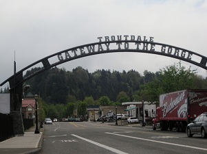
This is Troutdale – Gateway to the Gorge
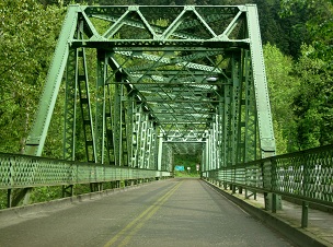
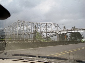
Bridge
“The ideals sought were not the usual economic features and considerations given the location of a trunk highway. Grades, curvature, distance and even expense were sacrificed to reach some scenic vista or to develop a particularly interesting point. All the natural beauty spots were fixed as control points and the location adjusted to include them…..no consideration was given the commercial over scenic requirements. The one prevailing idea in the location and construction was to make this highway a great scenic boulevard surpassing all other highways of the world.”
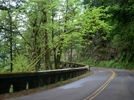
Don’t be fooled into taking the I-84 to see the Columbia River Gorge; it wasn’t built to the standards above. There is another road, sometimes marked as US 30, now called the Historic Columbia River Highway that was. Built by engineer/architect Samuel C. Lancaster in the early twenty’s, From Troutdale to the Dalles 75 miles away.
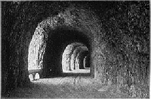
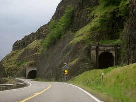
Some of the road is gone now, like the windowed tunnel, but what is there is spectacular and is well worth the price of admission. (there is no price of admission…it’s a public road)
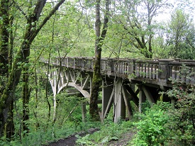
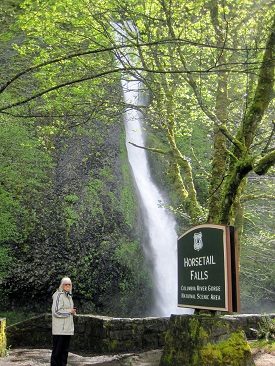
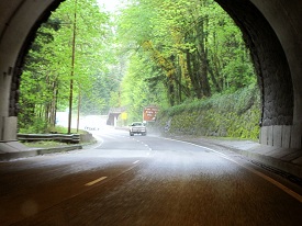
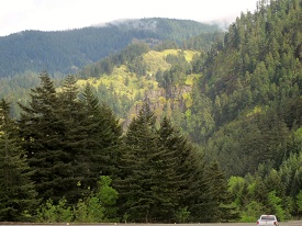
Some pictures from the road:
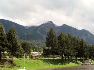
…and the rest area!!!:
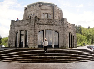
As Lancaster described it, the Crown Point promontory was the ideal site for “an observatory from which the view both up and down the Columbia could be viewed in silent communion with the infinite.” Such an observatory would also be a fitting memorial to “the trials and hardships of those who had come into the Oregon country.” And it could “serve as a comfort station for the tourist and the travelers of America’s greatest highway.” He suggested it be known as the Vista House.
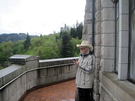
Views from the Vista House:
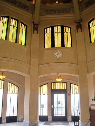
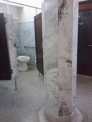
We just have one photo from inside, which is a shame, as this “rest area” would rival most any state capital rotunda. Marble floors, brass rails, cut glass windows.. they just don’t make rest areas like that anymore.
Hold on! We do have one more picture – of the women’s comfort station.
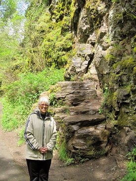
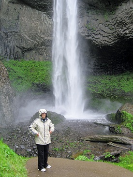
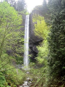
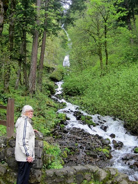
more roadside pics:
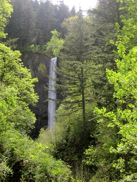
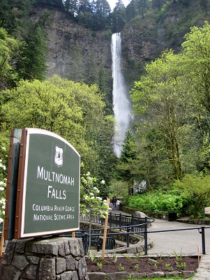
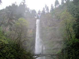
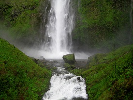
According to Indian lore, Multnomah Falls was created to win the heart of a young princess who wanted a hidden place to bathe.
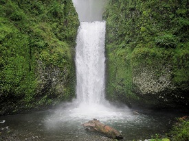
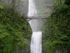
The falls deserves its own section:
More from the road:
Mount Hood’s out there someplace.
Mount Hood, at 11,249 Oregon’s highest mountain is considered the Oregon volcano most likely to erupt.
Eventually we had to join I-84:
..and came into Hood River. This area and the Gorge is famous for windsurfing and sail speed records due to the tunnel effect of the mountains, producing strong steady winds.
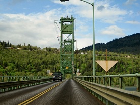
Unfortunately the sailboarders and winds had pretty much left for the day. So we crossed the bridge into Washington State for the ride back to Portland.
The Washington side was pretty, also.
..and so with the sun (?) setting in the west, our day of exploring came to a close. We didn’t mind the sporadic rainy weather as it made the many waterfalls just that much better.
Next we go find Lewis and Clark

